Last weekend was a solo hike at Kings Mountain State Park in South Carolina. This park actually connects to Crowder’s Mountain via the Ridgeline Trail that I did previously. I was looking for another trail in the 15-17 mile range and ended up making this one almost 18 miles due to some detours I made from the trail (some planned, some not!). The weather last weekend was a bit of a cold spell compared to what we’ve been having, so when I started, it was in the low 30’s and I had a ton of layers on. Since I’m using these training hikes to learn more about what I want to take on my long trip in June, this was actually perfect weather for me to test out what I thought I wanted to wear and then learn why those were bad choices.
The beginning of the hike was some good elevation change, so I quickly took off my gloves, hat and jacket before I even hit the first detour around mile 2 where I peeled off of the hiking trail (there’s only one) and headed up to the top of Browns Mountain which topped off at 1045 feet.
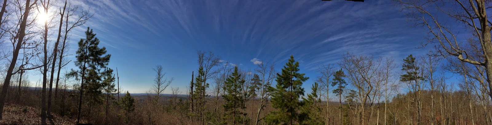
I know I usually post a lot of pictures showing how much climbing there is on these hikes, because there is, but with that climbing, there is also occasionally some good downhill hiking too.
By 4.5 miles in, I was regretting adding leggings under my quick-dry zip-off pants and this is one of the things I was planning to take with me / wear on my long hiking trip as I think there will be some cold mornings on the trail, but even though it hadn’t hit 40 degrees yet, I was starting to get a bit warm with the two layers. By mile 7, I decided that I was going to get rid of the leggings, so I found a nice stump to lean against and stripped in the middle of the woods – by this point it was 43 degrees and I was definitely overdressed! After that, I was much more comfortable and through the rest of the hike, I alternated between wearing my arm sleeves and taking them off, depending on whether the wind or the sun was winning.
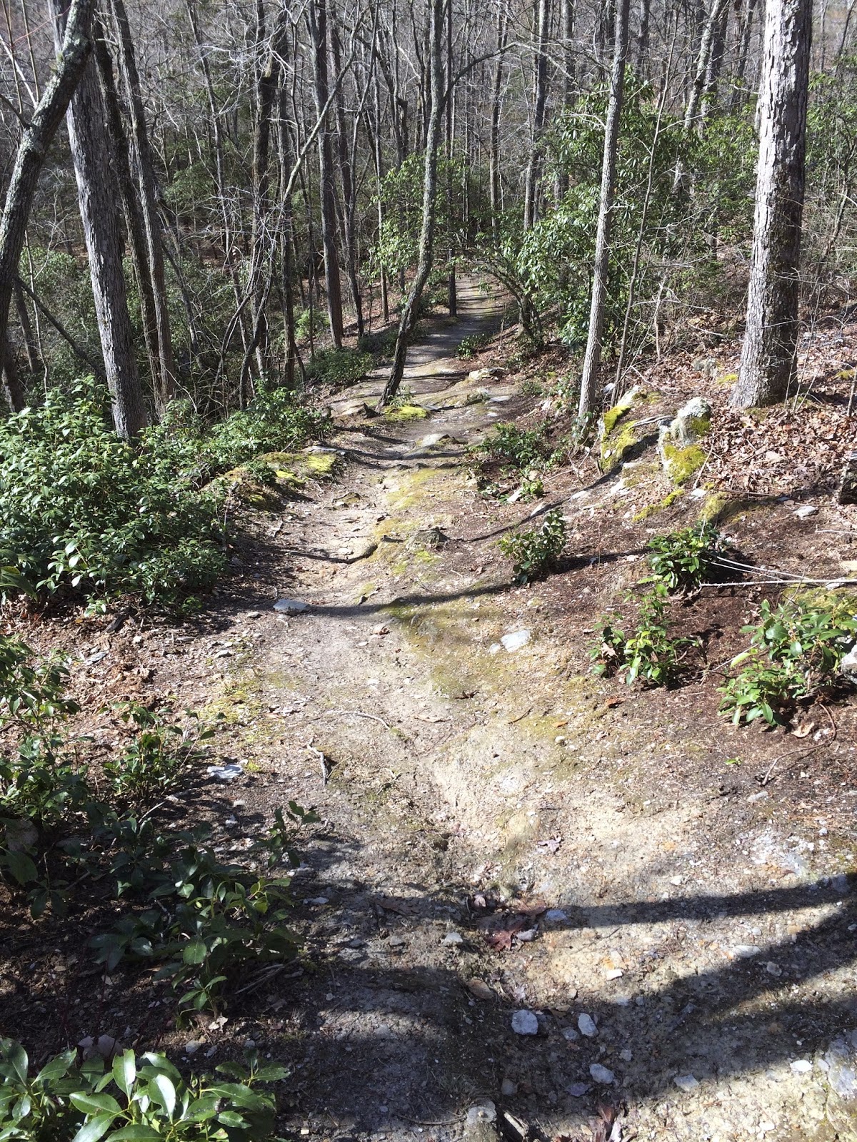
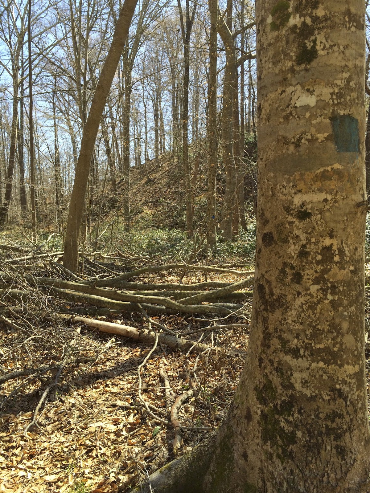
Though this was a clearly marked trail, it doesn’t look like it’s highly traveled and there were a lot of downed trees on various parts of the trail. Some of the time, they were able to be climbed over or under and occasionally there was another well-worn side trail which indicated the trees had been there for quite some time.
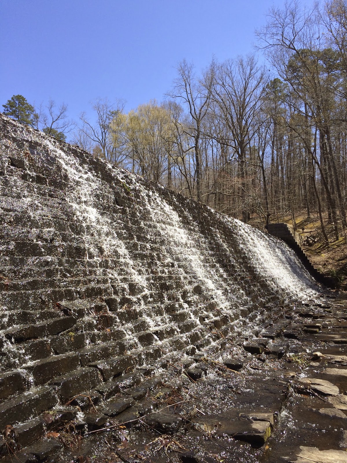
As I was coming up to the detour for Lake Crawford, I wasn’t sure if I wanted to do it. Because of the initial detour for Browns Mountain, I was already almost at 14 miles, but I figured the lake would be another good photo opportunity, so I headed that way. I started to see a lot more people as I took this spur trail and made it to the lake in about .5 of a mile and while I didn’t do the short loop around the lake, I did enjoy the part I got to see. I also got to answer questions from several other people who were at the park that day… apparently if you’re wearing a pack, you look like you know what you’re doing, so I got to help a couple people find the trail that went around the lake and helped a mother and son decide if they wanted to continue on the spur trail away from the lake based on how far I knew it was to the trailhead.
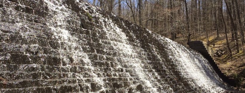
After finishing at the lake, I headed back to the main trail and came to a section where a bridge used to be and then another few feet down the stream, there were boards strewn across as a make-shift bridge, which actually worked pretty well.
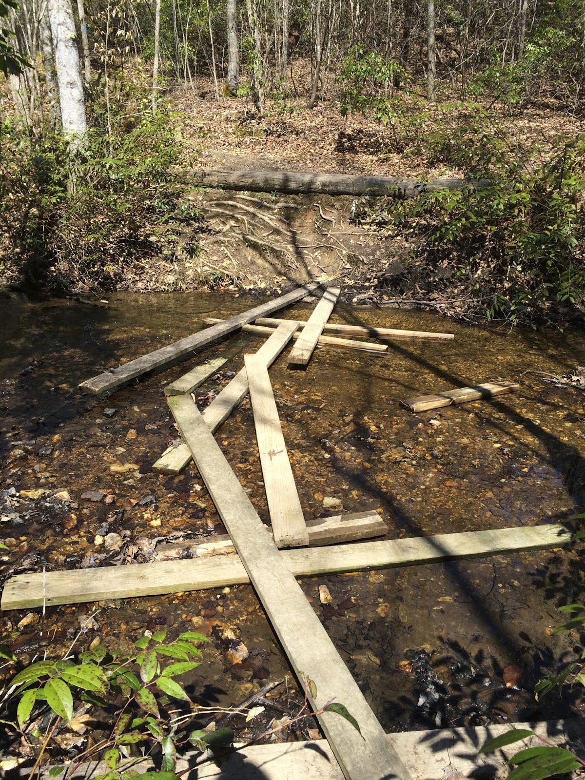
So, I went across the “bridge” and headed up the hill, following the blazes. At the top of the hill, I ended up in a parking lot… which looked very similar to the parking lot next to the lake. Hmm… I didn’t think the trail crossed the parking lot, so I headed back down the trail to see if I could figure out where I was supposed to be going. As it turns out, when I crossed the bridge, I missed seeing another blaze on the trail (the real one) that did almost a 180 around a corner from the previous blaze and took me back up the hill on the opposite side of the stream. The only complaint I have about this hike at all was that the blazes on the spur trails (to the parking lot, the lake and Browns Mountain) were all exactly the same blaze as the main trail, so while it was built as one big loop, it was fairly easy to get “off trail” from following the wrong blaze. Anyway…
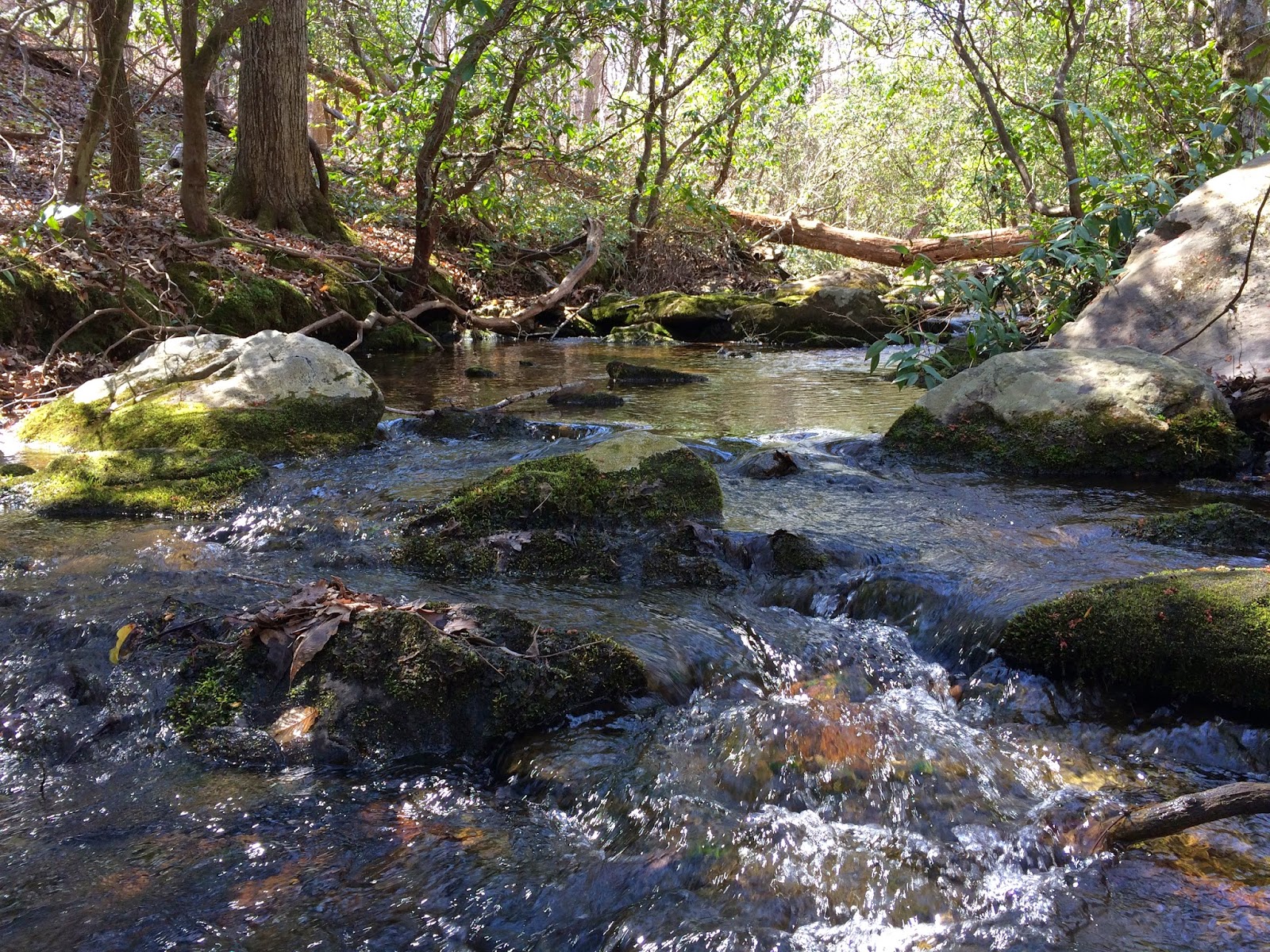
There were a few more small stream crossings, these with bridges still intact – in the background you can see one of the many large trees that were down throughout the trail.
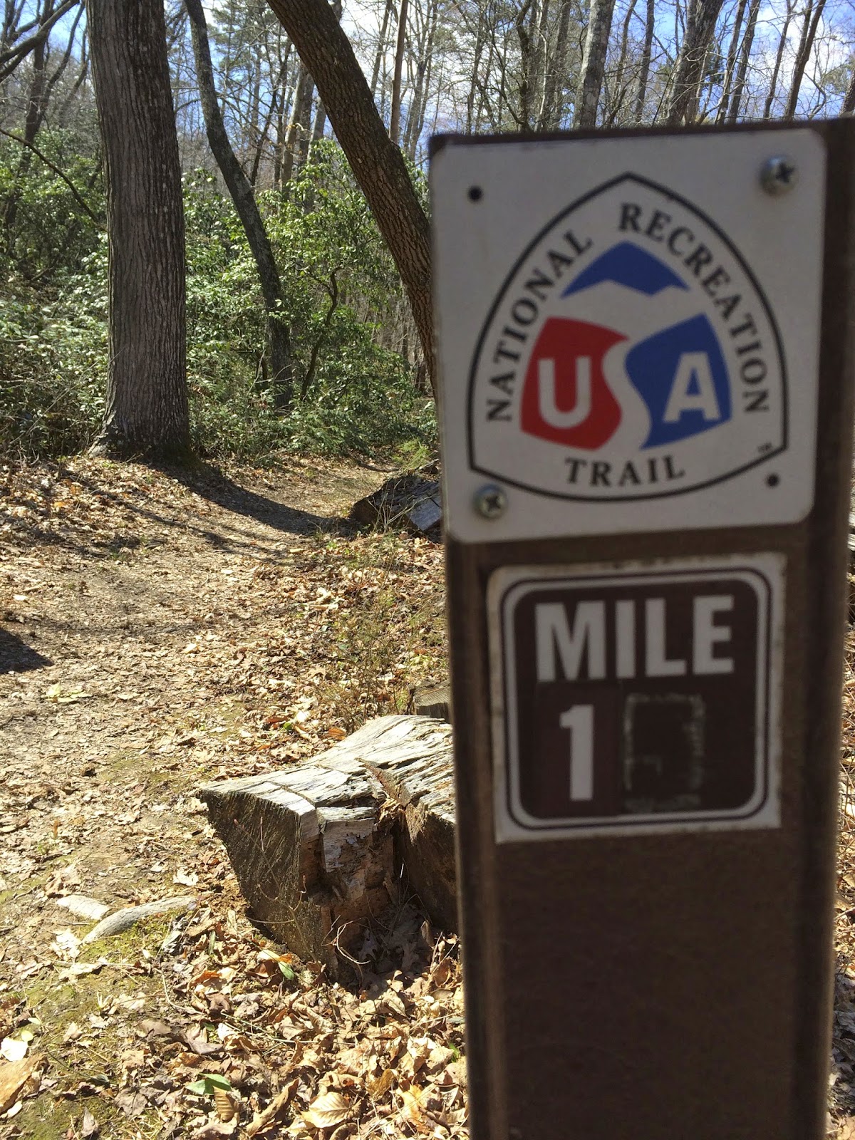
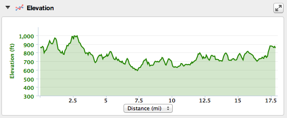
I finished the hike at 17.85 miles in 6:14 which means an average pace of 20:59, which is considerably faster than the week before, but this trail had much shorter elevation gains and losses. Around mile 16, my knee started to hurt a bit and it hurt the rest of the night, but after some good rest, it was back to normal and I think it’s just going to take some more time to get my endurance back up since I’ve had a (fairly) lazy winter. The physical therapist told me that as long as the pain is gone within 24 hours, we’re in good territory, so with that, I’ll start thinking about what to take on my next 18 mile hike!