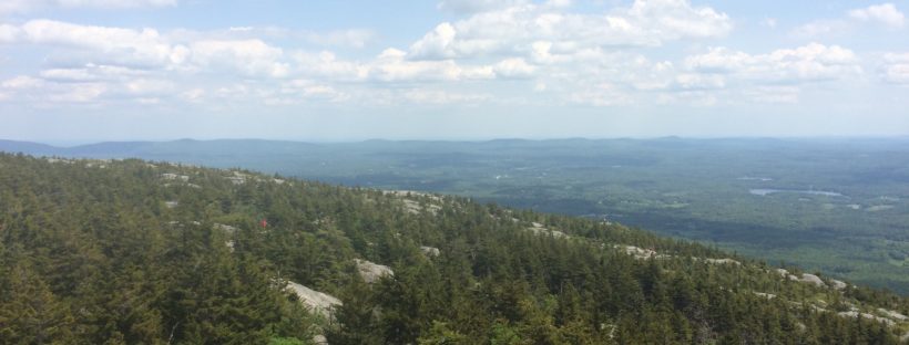
After finishing the Drummer Hill race, I headed about 30 minutes southeast to Mount Monadnock to do a summit hike. I had read about the hike in my planning to head up to New England and knew it was going to be a tough hike, but since i stopped the race at 20k, I figured I would be okay.
When I got to the entrance, the gate attendants told me that they were expecting an afternoon storm, so I made sure I was keeping an eye on the sky as I as I was hiking. Based on the information I had read online, I was planing to do a loop, taking one route up and a separate one down which would theoretically be easier – after hiking both, I definitely agree on the suggestion and was very happy not to have to go back down some of the rock climbs I did on the way up!
From the beginning of the hike I knew it was going to be a tough hike. Even on the relatively flat portions at the start were strewn with rocks which made for slow hiking to make sure I wouldn’t turn an ankle.
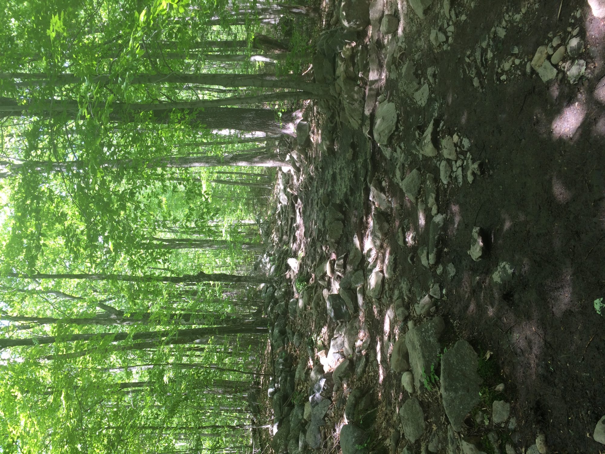
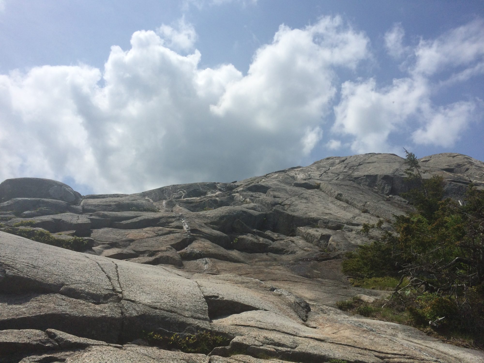
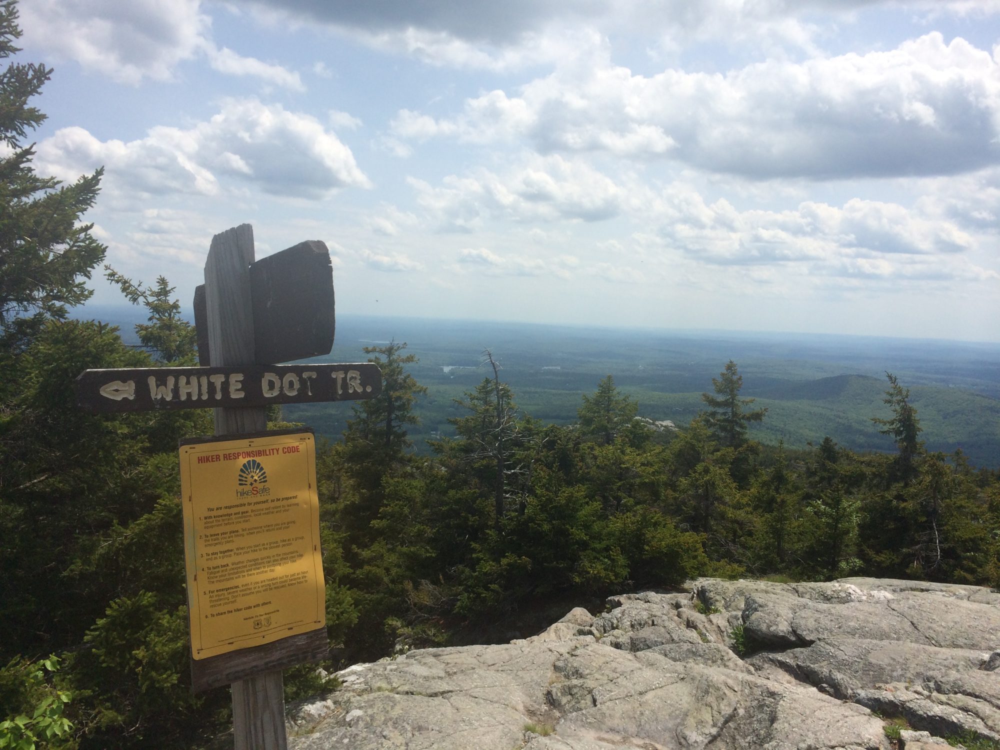
The trails were well marked with white circles and though it was a tough climb up, scrambling over lots of rocks and boulders.
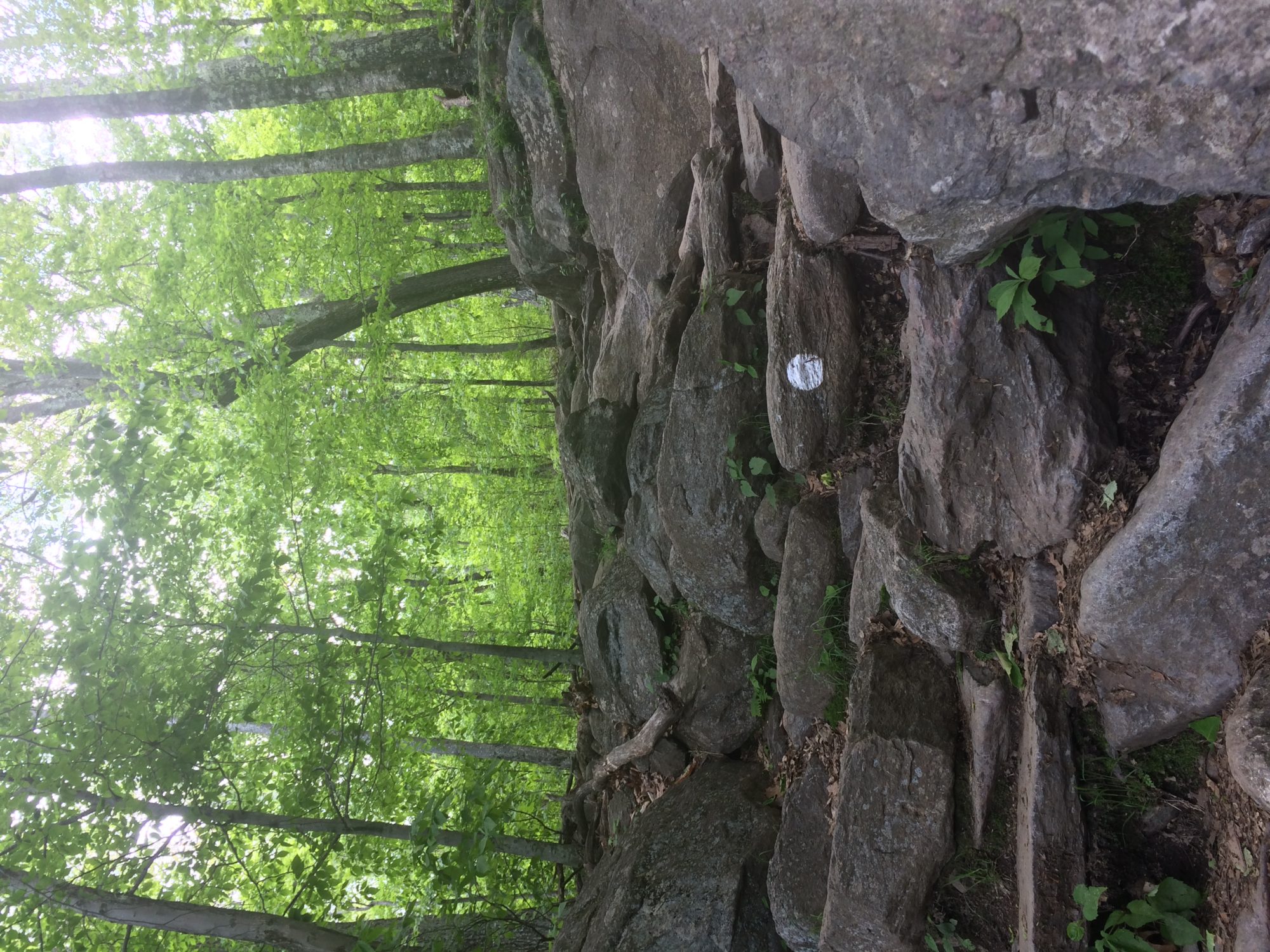
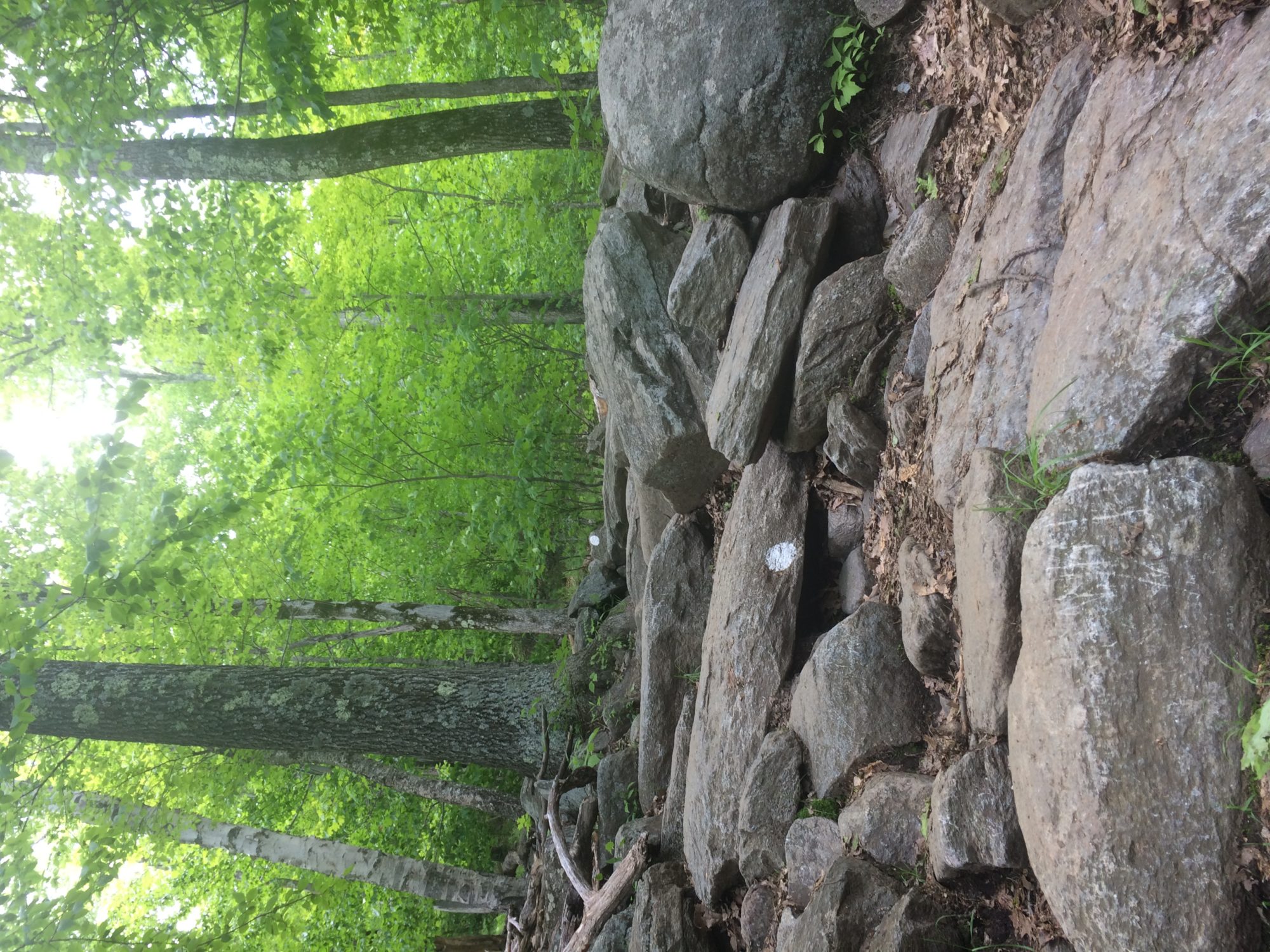
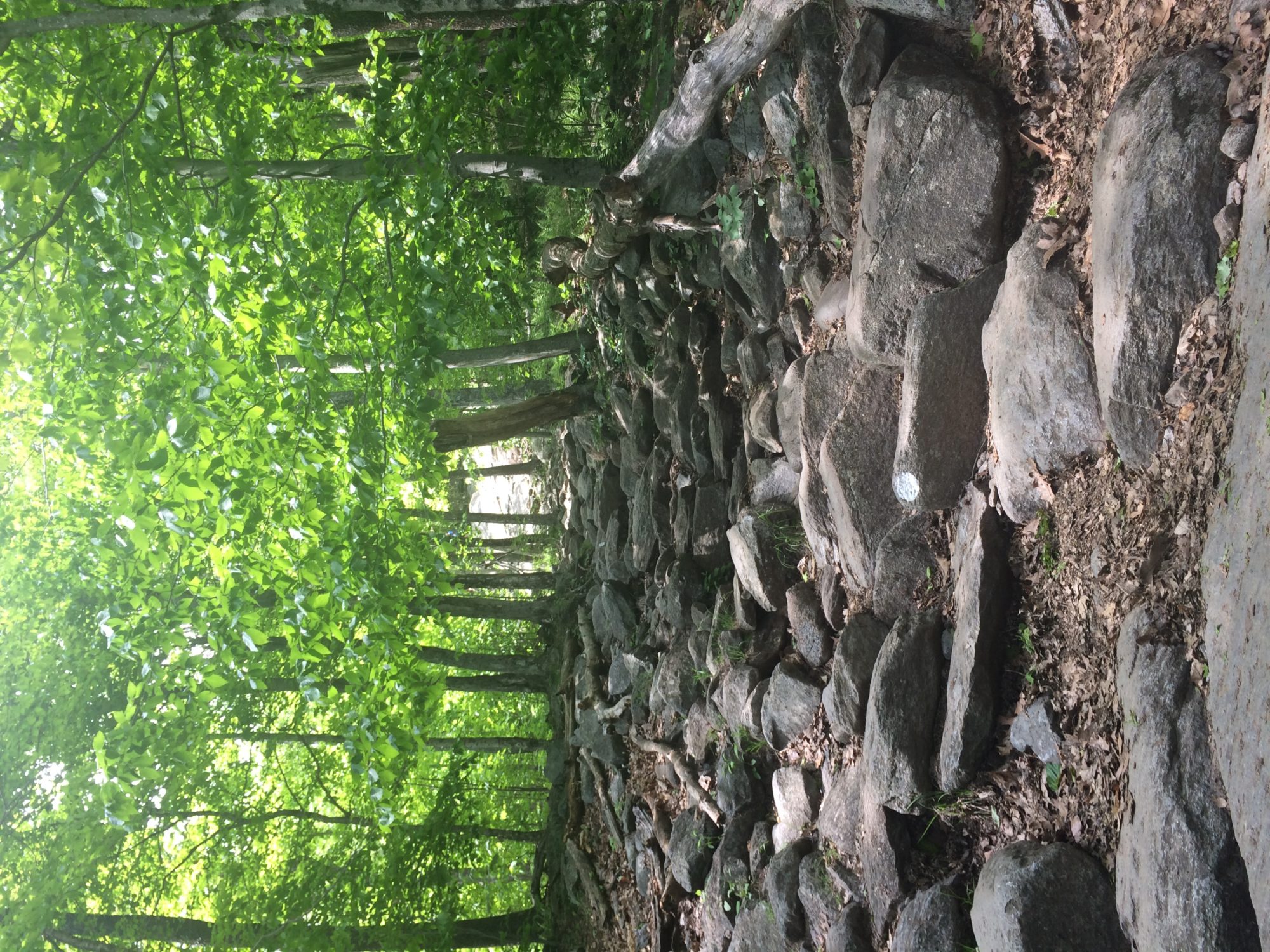
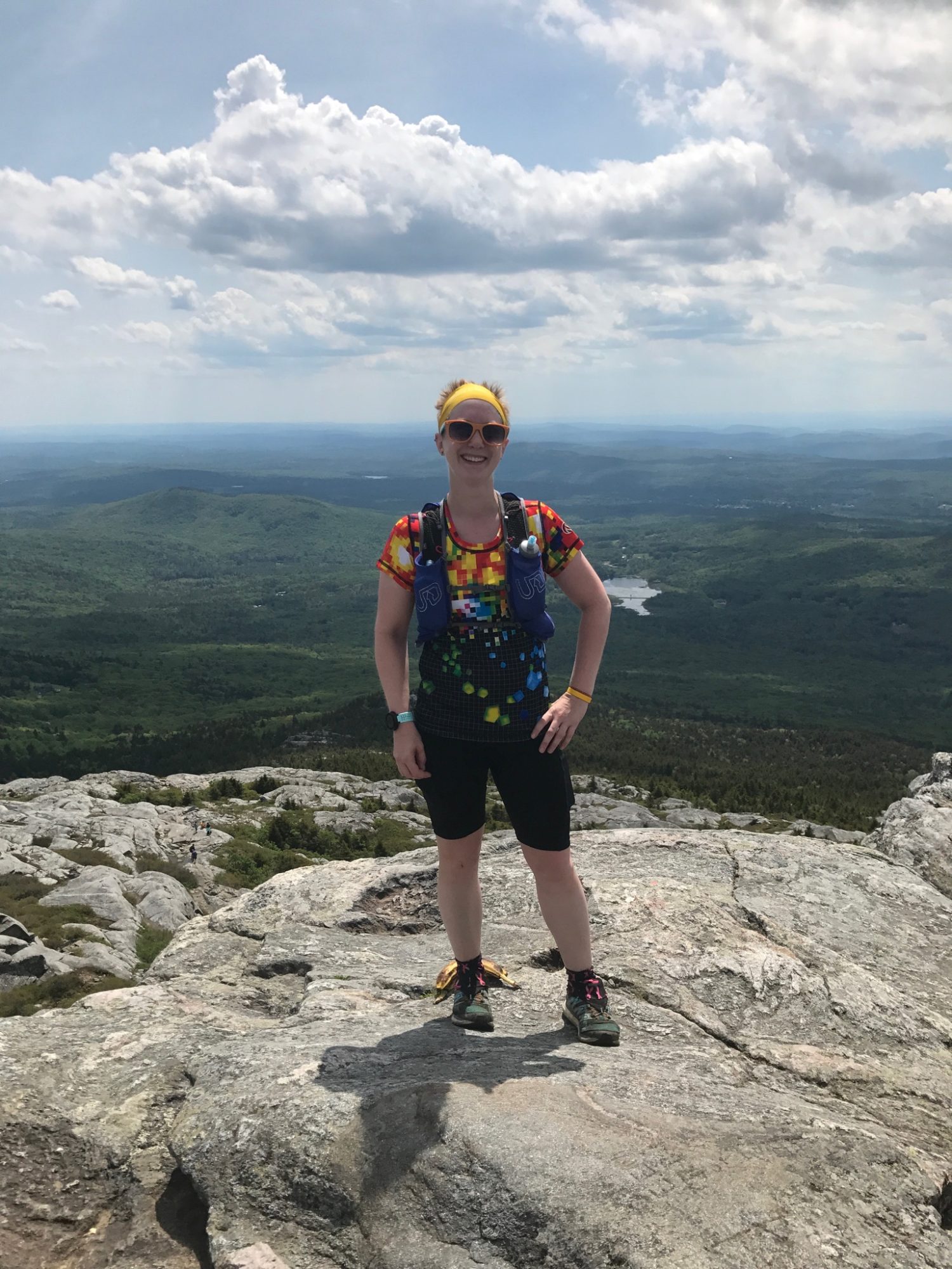
I took my time and made sure to take lots of pictures as I was climbing and then even more once I got above the tree line.
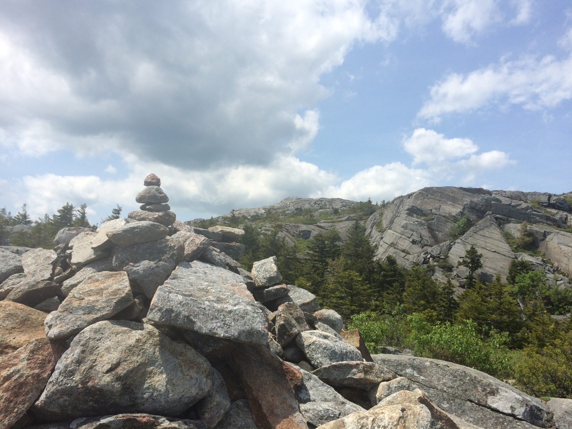 following the cairns to get to the top
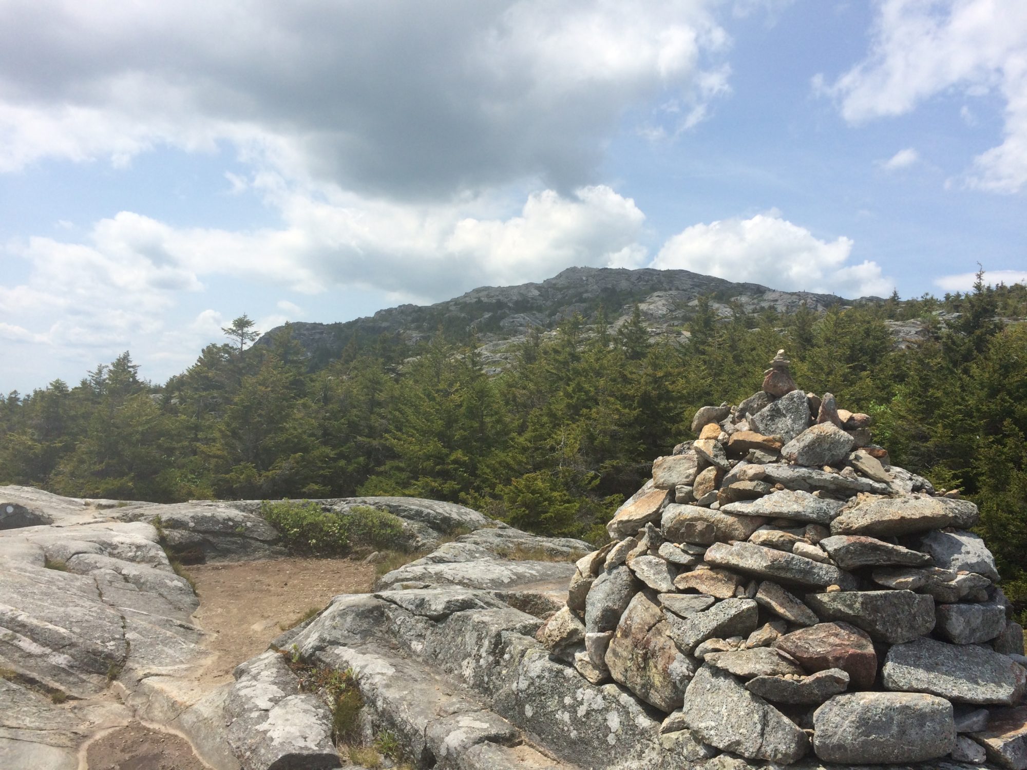
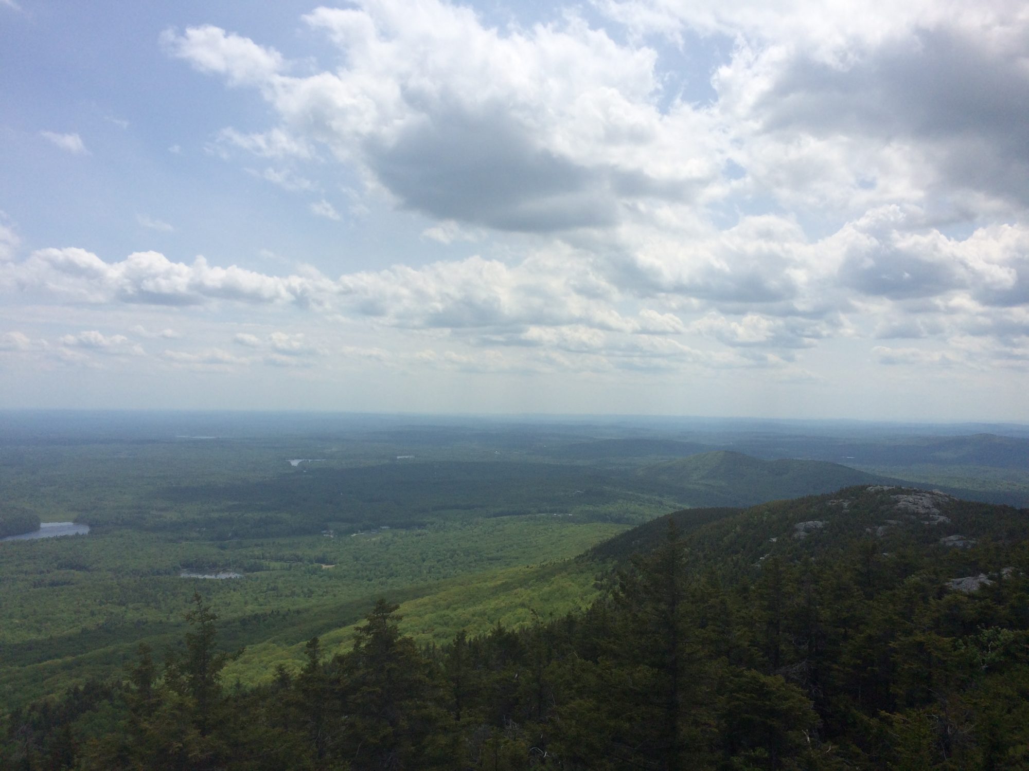
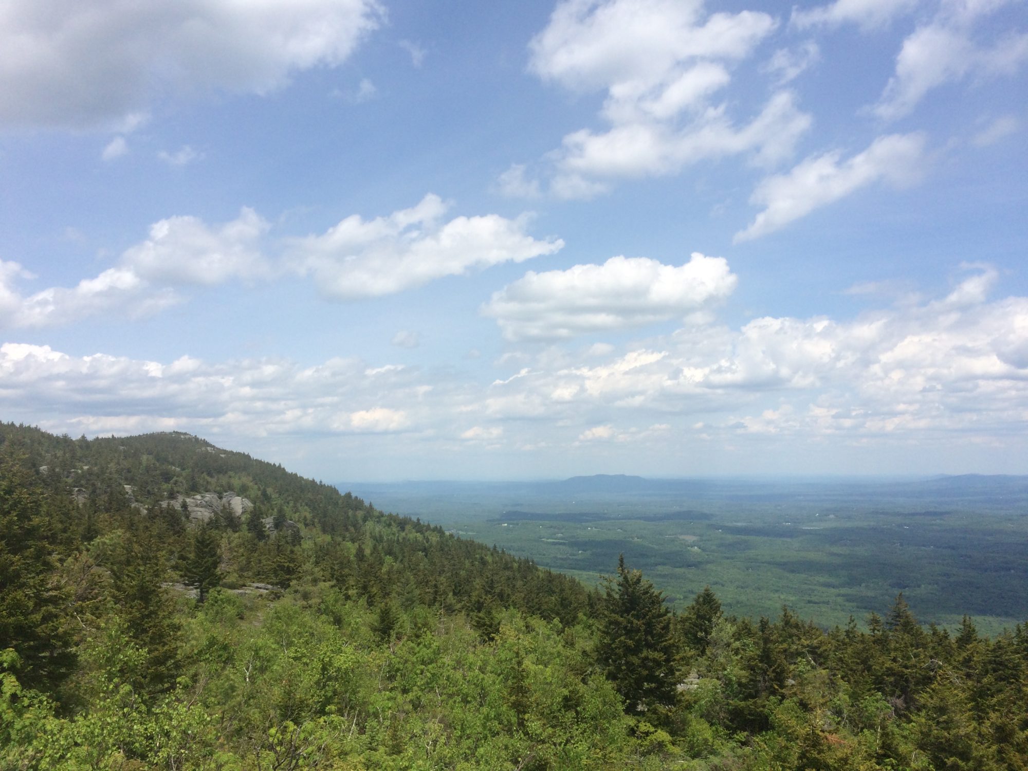
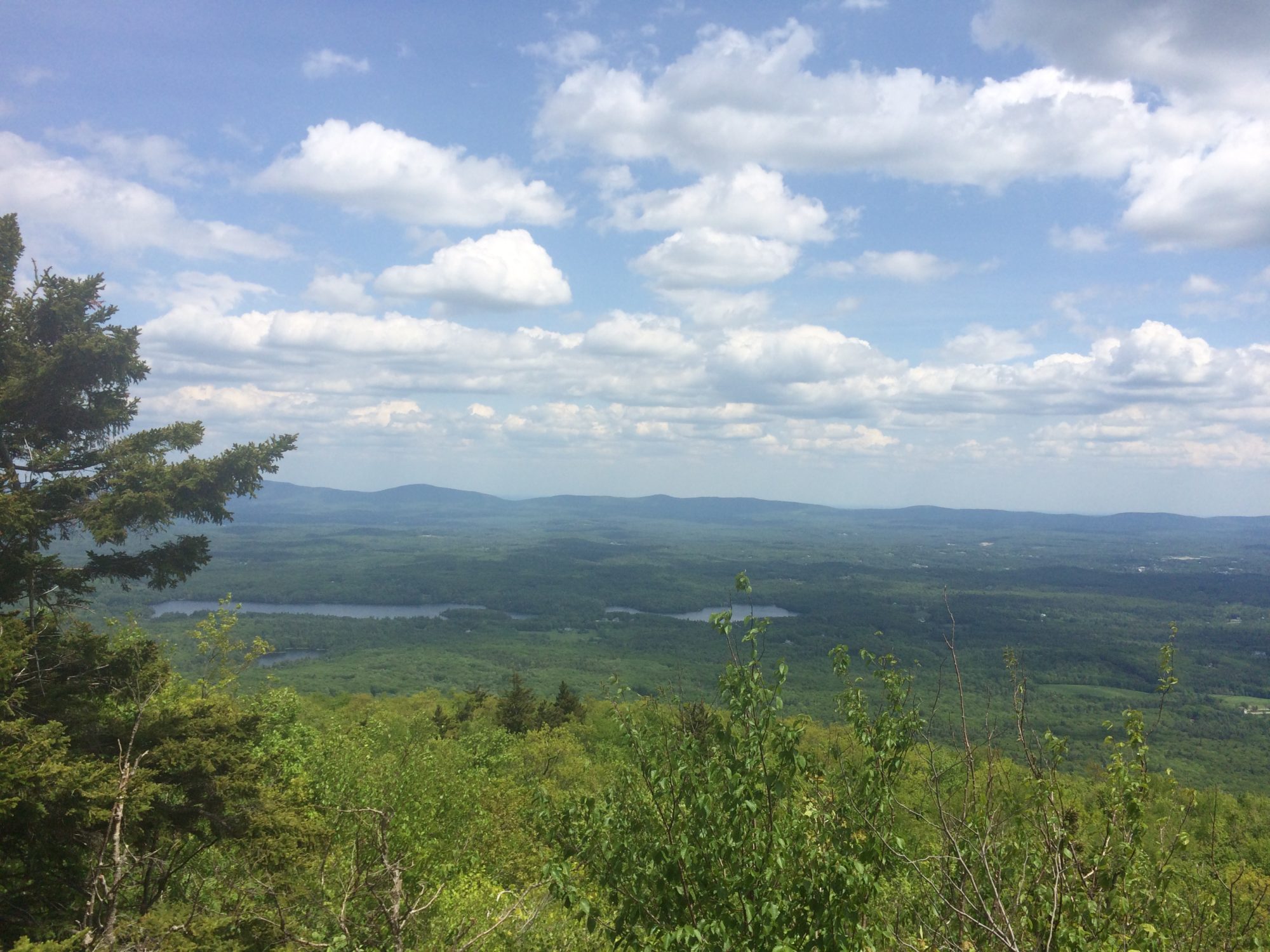
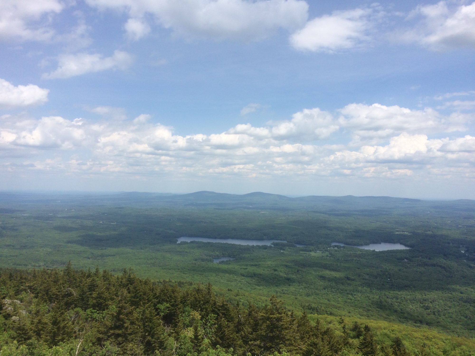
I figured my phone just needed to be charged as I’d had this happen before where it said it wad dead, but actually just needed a kickstart of electricity before it would jump back up to 50% again. So I stowed my phone and just worked my way back down the mountain. Eventually I made it to where the trail split and headed down the new trail. There were a lot more steps built into this side of the trail, so while it was still rough my knees and quads, it felt a lot safer than the scrambling I had to do to get up the other side!
On the way down there were fewer people around, but as I was climbing down some bigger rocks with a guy following close behind me, I saw a snake sunning himself on the rocks and the guy behind me stopped to Snapchat with the snake.
After getting back to my car, I tried charging my phone with my portable charger, but it wasn’t turning back on, so I asked the woman working at the gift shop if I could borrow an outlet and tried that for about 15 minutes, but my phone still wasn’t working, so I went to the next plan – written directions back to Boston! I wasn’t actually heading to Boston, but I knew I needed to go south to get to Providence, RI, so I figured I could follow the directions until I found a gas station and hope they still sold maps. After about an hour of driving, I recognized one of the cities from my snooping around prior to the trip trying to decide on a hotel location, so I took the exit and was officially on my own to navigate the rest of the way. Luckily it wasn’t too long before I came into a more populated area and pulled off to find a gas station. At this point beyond finding a map, I also needed to find a Verizon store since my phone still hadn’t turned on. Amazingly enough, when I stopped at the first gas station I saw, I was only a few blocks away from a Verizon store and of course, when I told the ugly what happened and how my phone wouldn’t turn on, he got it on within seconds! But, at least now I know the trick of how to fix the issue for when it happens again (spoiler: it’s happened multiple times since then).
After the almost half marathon in the morning, hiking in the afternoon and then driving a few hours, I was ready for an early night in Rhode Island, but of course, I had another race the following morning to check off state #28, Massachusetts!
